Recent Work
Seismic Monitor
Volcanoes
Geo Guesser
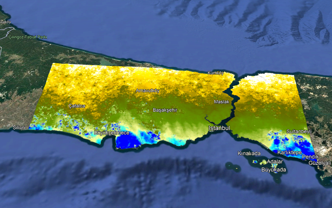
InSAR Istanbul